
RED DEER
Locations I serve as Future MP
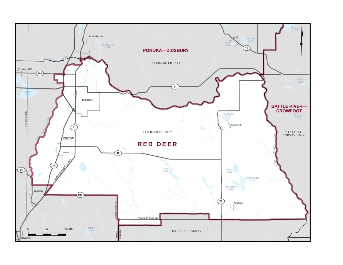
Boundaries description
the City of Red Deer;
the Town of Penhold;
the villages of Delburne and Elnora
and that part of the Municipal District of Red Deer County lying northerly and easterly of a line described as follows: commencing at the intersection of the northerly limit of said municipal district and Highway 2A; thence generally southerly along said highway to the northerly limit of the City of Red Deer; thence generally westerly and generally southerly along the northerly and westerly limits of said city to the Red Deer River; thence generally southwesterly along said river to Highway 54; thence southerly along said highway to the northerly limit of the Town of Innisfail; thence easterly and southwesterly along the northerly and easterly limits of said town to Highway 590; thence generally easterly along said highway to Range Road 263; thence southerly along said road to Township Road 350; thence easterly along said road to Range Road 264; thence generally southerly along said road to the southerly limit of said municipal district at approximate latitude 51°57'16"N and longitude 113°38'34"W.
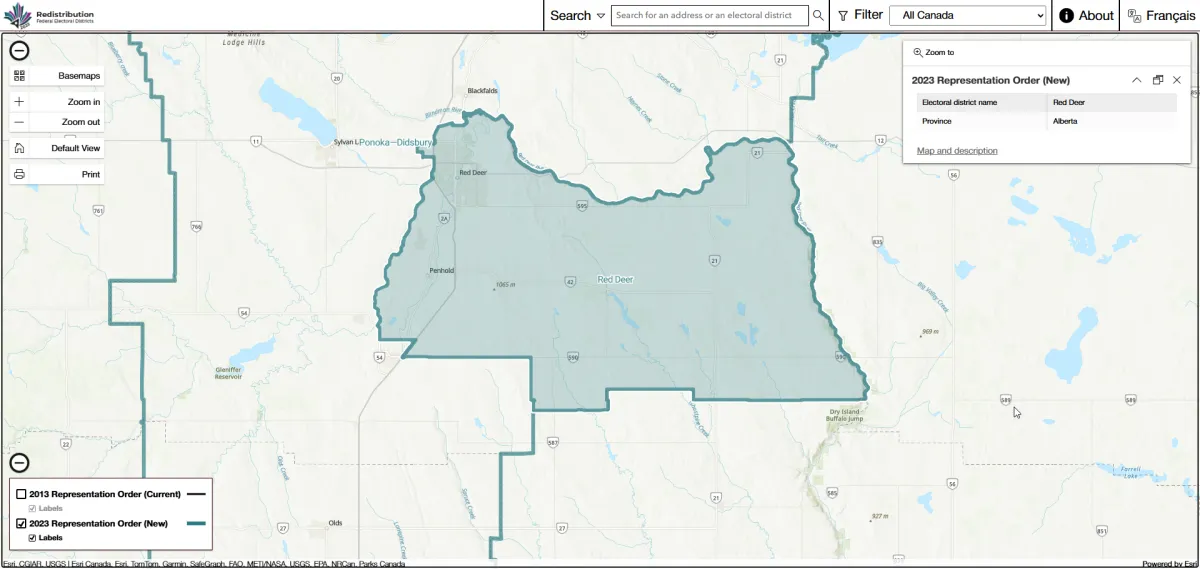
Updates: ALL of Red Deer (not just half) Down to Penhold and almost no exclusivly East of Highway 2 No longer Includes Innisfail, Bowden etc
Simple and smaller (area)
Locations I'll Serve


Village of Elnora
Springbrook
Pinelake